
Know the flow.
All the water news. One map.
Checking the water level used to mean visiting a dozen websites. Not anymore. Every few minutes, Waterline grabs the newest numbers from the people who measure rivers, rain and weather. Then we put it all on one easy map, so you can see where water is going up, where it's going down, and where rain is on the way.
Your waters. Your way.
Each state's map shows everything. Pick an activity to see just what matters for it.
- River gaugesU.S. Geological Survey
- River forecastsNational Weather Service
- Dam releasesU.S. Army Corps of Engineers
- Rain gaugesCoCoRaHS volunteers
- Doppler radarNEXRAD
- Rain forecastNWS Weather Prediction Center
- Creek forecastsNOAA National Water Model
- Public landArkansas Game & Fish
- Duck sightingseBird, Cornell Lab of Ornithology
Water data. Real decisions.
One screen instead of twelve websites. Waterline pulls government water and weather data every 15 minutes and does the math for you. It boils down to one question: where is water coming up into new ground right now?
Live river gauges
About 190 USGS and National Weather Service gauges, plus hourly releases from every Corps of Engineers dam and lock. NOAA's National Water Model forecasts the creeks that don't have a gauge.
Rain & radar
Looping Doppler radar, radar rain totals, real rain-gauge readings from CoCoRaHS volunteers, the 7-day rain forecast, flash flood warnings, and how soaked the ground already is.
Rising Water Score
Every WMA and National Wildlife Refuge gets a 0–100 score from its gauges, rain, creek forecast, soil and flood stage, plus a 5-day hunting forecast that flags cold fronts and freezes.
Water on the rise
Checking every gauge in the state…
WMAs & refuges with water coming up
Are new birds coming?
Ducks ride cold fronts south. We watch the weather up the Mississippi Flyway for the north winds, snow and hard freezes that push new birds into Arkansas.
Waterfowl on the ground right now
By species
Hot spots
Just reported
Counts are the latest report at each birding spot over the last 14 days, from eBird.org. Birders report what they see from roads, refuges and lakes, so treat it as where birds are showing up, not an exact head count. Updates every 30 minutes.
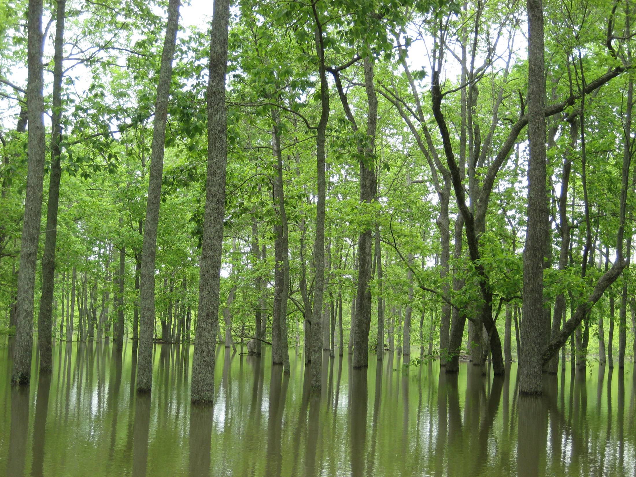 Cache River NWR near Augusta, AR · May 2011 · Photo: USFWS
Every level matters.
Rivers rise overnight and fall just as fast. Whether you're launching a boat, wading a creek, floating a river or heading to the woods, Waterline shows you what the water is doing right now, and what it's about to do.
Live levels for every gauged river, creek and lake in .